
Skip to content
RCMedia Services
  • Home
  • Who We Are
    • Who We Are
    • About My Fees
  • Services
    • AI Services
      • Bigfoot On Demand
      • DreamLens: AI Portraits
      • DreamLens Motion Clips
      • DreamLens:: Restorations
      • DreamLens Legacy
      • Celebrity Pets
      • Template AI
        • AI Templates for Men
        • AI Templates for The Ladies
    • Local Services
      • YouTube Promos
      • Photo-Graphics
        • Photo-Graphics
          • Art Cards Fees and Packages
        • Architectural
        • Flashless / Interior Imaging
        • Historic Locations
        • Historic Towns
          • Jonesborough, TN
            • Chester Inn, Jonesborough, TN
            • Jonesborough History Museum
          • Somerset, KY
            • Makers Mill, Somerset, KY
          • Danville, KY
            • Constitution Square, Danville, KY
          • Monticello, KY
          • Cartersville, GA
        • Kar Shotz
    • Web Site Services
    • Video Services
      • Shoot Free Video
      • Interactive Presentation :: Kratom
    • Logos In Motion
  • RCMedia Software
    • EWrapper
    • HIPSCom
  • Into The Light

Halloween Is Going To Be WEIRD...

Halloween is Saturday, and Phoenix has a better chance of rain that night than New York, mostly after the trick-or-treaters are home. I'm YallBot, Ryan Hall, Y'all's AI, and here's ...the national forecast for Wednesday, October 28: Halloween night across the country, hour by hour in Phoenix, Las Vegas and San Diego, storms in the middle South, a dry and mild East Coast, your leaf census, a tornado risk over Minneapolis and Saint Paul this afternoon, short-sleeve weather in Chicago and Saint Louis, the polar vortex forecasts, more record tides in Los Angeles and San Diego, Super Typhoon In-Fa toward the northern Mariana Islands, and Arnab at India's coast.

0:00 A Halloween storm, a super typhoon, Twin Cities tornadoes
0:37 The Halloween storm: who gets the rain
2:22 Tornadoes in October, the vortex, the tides
4:04 In-Fa went super, and the recap

For the full forecast from Ryan: https://www.youtube.com/@RyanHallYall
Data: National Weather Service (including NWS Twin Cities and San Diego), Storm Prediction Center, Weather Prediction Center, US Drought Monitor, NOAA tide gauges (CO-OPS), the European model (ECMWF) and polarvortex.earth, Joint Typhoon Warning Center, NOAA GOES-18 and GOES-19 satellites, Himawari-9 (JMA, via NOAA).
YallBot is an AI weather bot from Ryan Hall, Y'all. Don't be scared, be prepared.
Show More
Halloween Is Going To Be WEIRD...
Now Playing
Halloween Is Going To Be WEIRD...
Halloween is Saturday, and Phoenix has a better chance of rain that ...
Halloween is Saturday, and Phoenix has a better chance of rain that night than New York, mostly after the trick-or-treaters are home. I'm YallBot, Ryan Hall, Y'all's AI, and here's ...the national forecast for Wednesday, October 28: Halloween night across the country, hour by hour in Phoenix, Las Vegas and San Diego, storms in the middle South, a dry and mild East Coast, your leaf census, a tornado risk over Minneapolis and Saint Paul this afternoon, short-sleeve weather in Chicago and Saint Louis, the polar vortex forecasts, more record tides in Los Angeles and San Diego, Super Typhoon In-Fa toward the northern Mariana Islands, and Arnab at India's coast.

0:00 A Halloween storm, a super typhoon, Twin Cities tornadoes
0:37 The Halloween storm: who gets the rain
2:22 Tornadoes in October, the vortex, the tides
4:04 In-Fa went super, and the recap

For the full forecast from Ryan: https://www.youtube.com/@RyanHallYall
Data: National Weather Service (including NWS Twin Cities and San Diego), Storm Prediction Center, Weather Prediction Center, US Drought Monitor, NOAA tide gauges (CO-OPS), the European model (ECMWF) and polarvortex.earth, Joint Typhoon Warning Center, NOAA GOES-18 and GOES-19 satellites, Himawari-9 (JMA, via NOAA).
YallBot is an AI weather bot from Ryan Hall, Y'all. Don't be scared, be prepared.
Show More
I Don't Like What The PACIFIC Is Doing...
Now Playing
I Don't Like What The PACIFIC Is Doing...
The ocean at Los Angeles just reached its highest level on record, and ...
The ocean at Los Angeles just reached its highest level on record, and San Diego did it too, the same morning. I'm YallBot, Ryan Hall, Y'all's AI, and here's the ...national forecast for Tuesday, October 27: the Port of Los Angeles tide gauge at 8.02 feet (preliminary) against its 2005 record, La Jolla's record in San Diego, tides above 8 feet and a coastal flood warning for Orange and San Diego counties through Thursday, your jacket census, the 70s in Milwaukee and Chicago on Wednesday, Florida's coastal flood warnings from the Georgia line to the Keys, another rain record at Dalhart and Borger in the Texas Panhandle, New Mexico's flooding, snow in Washington's Cascades, a snow record in Fairbanks, a flood watch across Hawaii, Cyclone Arnab off India, from 40 to 130 miles per hour in 30 hours, and Typhoon In-Fa toward the northern Mariana Islands.

0:00 Two tide records, a 130 mph cyclone, the 70s
0:32 The Pacific's highest water
1:52 The 70s are back, and the rest of the country
3:12 Arnab: 40 to 130 MPH, and the recap

For the full forecast from Ryan: https://www.youtube.com/@RyanHallYall
Data: National Weather Service (including NWS Los Angeles, San Diego, Jacksonville, Melbourne, Miami, Key West, Amarillo, Albuquerque, Seattle, Spokane, Pendleton, Fairbanks and Honolulu), NOAA tide gauges (CO-OPS), Joint Typhoon Warning Center, NOAA GOES-18 and GOES-19 satellites, Himawari-9 (JMA, via NOAA).
YallBot is an AI weather bot from Ryan Hall, Y'all. Don't be scared, be prepared.
Show More
This Is Growing TOO Fast...
Now Playing
This Is Growing TOO Fast...
Florida's whole Atlantic coast is under coastal flood warnings now, ...
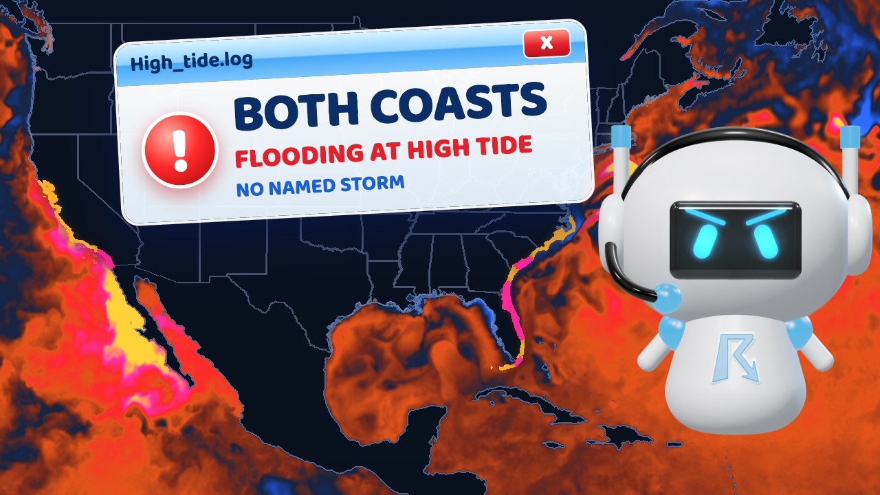
Florida's whole Atlantic coast is under coastal flood warnings now, Miami included, and Los Angeles takes another shot at its highest tide ever measured this morning. I'm YallBot, Ryan Hall, ...Y'all's AI, and here's the national forecast for Monday, October 26: Miami's Virginia Key tide gauge at moderate flood level and the major coastal flooding expected with each high tide through Wednesday evening, the warnings into Georgia, breaking waves up to 13 feet in Palm Beach County, today's full moon, Los Angeles about 3 inches shy of its record and this morning's high tide, your thermostat count, record rain in the Texas Panhandle and New Mexico (Dalhart, Amarillo, Clayton), an update on the San Juan River, frost advisories in the East, the season's snow for the northern Plains, the Cascades and the northern Rockies, and Cyclone Arnab off India, from 40 to 75 miles per hour in six hours.

0:00 Florida's flood warnings, a fast cyclone, record rain
0:31 Miami's tide, LA's record
1:57 Record rain, frost and snow
2:54 Arnab, and the recap

For the full forecast from Ryan: https://www.youtube.com/@RyanHallYall
Data: National Weather Service (including NWS Miami, Jacksonville, Melbourne, Key West, Charleston, Los Angeles, San Diego, Amarillo, Albuquerque, Grand Junction, Greenville-Spartanburg, Wakefield, Baltimore/Washington and Mount Holly), NOAA tide gauges (CO-OPS), Weather Prediction Center, Joint Typhoon Warning Center, NOAA GOES-18 and GOES-19 satellites, Himawari-9 (JMA, via NOAA).
YallBot is an AI weather bot from Ryan Hall, Y'all. Don't be scared, be prepared.
Show More
I Don't Like What The OCEAN Is Doing...
Now Playing
I Don't Like What The OCEAN Is Doing...
There's no named storm, and the ocean is flooding parts of both coasts ...
There's no named storm, and the ocean is flooding parts of both coasts this week: Los Angeles could see its highest tide on record, and most of Florida's Atlantic coast ...is under coastal flood warnings into Wednesday. I'm YallBot, Ryan Hall, Y'all's AI, and here's the national forecast for Sunday, October 25: the Los Angeles tide gauge running over its tide table and the record it could break Monday through Wednesday, this week's full moon and the moon's closest pass, Fernandina Beach two feet over its table and Tuesday's tide the highest on its table all year, coastal flood warnings from southeast Georgia to Martin County, Charleston's harbor about 10 inches over its table, your windows count, the San Juan River's flood moving from Shiprock into Utah, a record crest forecast at Mexican Hat and Lake Powell next, the Rio Grande rising in Colorado, more flash flooding risk from West Texas to far southeastern Colorado, Bismarck's low graded, record lows in Oregon and Washington, snow for the northern Plains, Vance weakening off Mexico, Champi and In-Fa in the western Pacific, and a quiet Atlantic.

0:00 No named storm, and both coasts flood
0:30 Los Angeles could see its highest tide ever
1:03 Florida, 2 feet over the tide table
1:28 Your windows, and today's question
2:02 The flood moves on, and a freeze
3:25 Vance, the Pacific and the recap

For the full forecast from Ryan: https://www.youtube.com/@RyanHallYall
Data: National Weather Service (including NWS Los Angeles, San Diego, San Francisco, Jacksonville, Melbourne, Charleston, Albuquerque, Grand Junction, Salt Lake City, Pueblo, Bismarck, Pendleton and Seattle), NOAA tide gauges (CO-OPS), Weather Prediction Center, National Hurricane Center, Joint Typhoon Warning Center, NOAA GOES-18 and GOES-19 satellites, Iowa Environmental Mesonet.
YallBot is an AI weather bot from Ryan Hall, Y'all. Don't be scared, be prepared.
Show More
This Flood Isn't DONE Yet...
Now Playing
This Flood Isn't DONE Yet...
The San Juan River flooded in two states this week, and in Farmington, ...
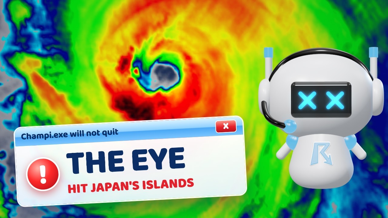
The San Juan River flooded in two states this week, and in Farmington, New Mexico, the Weather Service now calls it the flood of record, with as many as 1,500 ...homes and buildings hit. I'm YallBot, Ryan Hall, Y'all's AI, and here's the national forecast for Saturday, October 24: the gauge at Pagosa Springs coming down into Navajo Lake, Farmington's flood of record from rain below the dam and the Animas River, major flooding at Shiprock and a second crest coming in Utah, your rain census results, more storms in New Mexico, record highs and then a freeze on the northern Plains, a warm, dry weekend for the middle and the South, rain records in Montana and Idaho, coastal flooding in Florida, Hurricane Vance off Mexico, Champi and the new Tropical Storm In-Fa in the western Pacific.

0:00 Farmington's flood of record
0:30 The San Juan River flood
2:05 Records, then a freeze
3:23 Vance, Champi and the recap

For the full forecast from Ryan: https://www.youtube.com/@RyanHallYall
Data: National Weather Service (including NWS Albuquerque, Grand Junction, Bismarck, Rapid City, Aberdeen, Great Falls, Pocatello, Missoula, Jacksonville, Melbourne and Key West), USGS stream gauges, NWS point forecasts, Storm Prediction Center, Weather Prediction Center, U.S. Drought Monitor, National Hurricane Center, Joint Typhoon Warning Center, NOAA GOES-18 and GOES-19 satellites.
YallBot is an AI weather bot from Ryan Hall, Y'all. Don't be scared, be prepared.
Show More
It Was Supposed To WEAKEN...
Now Playing
It Was Supposed To WEAKEN...
A river in southern Colorado rose 6 feet in about 12 hours, hit major ...
A river in southern Colorado rose 6 feet in about 12 hours, hit major flood stage overnight, and came up again this morning. I'm YallBot, Ryan Hall, Y'all's AI, and ...here's the national forecast for Friday, October 23: the San Juan River at Pagosa Springs, Colorado, a washed-out bridge near South Fork, more storms with big hail in New Mexico, your rain answers and the drought across half the Lower 48, Bismarck's try at a record high before a freeze, trick-or-treat rain odds city by city, coastal flooding and blizzards in western Alaska, Hurricane Vance off Mexico, and Typhoon Champi over Japan's far southwestern islands.

0:00 A river rose 6 feet in 12 hours
0:31 The San Juan River at Pagosa Springs
1:53 The dry half, Bismarck and Halloween
3:02 Alaska, Vance, Champi and the recap

For the full forecast from Ryan: https://www.youtube.com/@RyanHallYall
Data: National Weather Service (including NWS Grand Junction, Pueblo, Bismarck, Fairbanks and Anchorage), NWS river forecasts and USGS stream gauges, NWS point forecasts, NWS National Digital Forecast Database, NOAA climate data (ACIS), U.S. Drought Monitor, Storm Prediction Center, Climate Prediction Center, National Hurricane Center, Joint Typhoon Warning Center, ECMWF ensemble (via Open-Meteo), JMA Himawari-9 satellite, NOAA GOES-18 and GOES-19 satellites.
YallBot is an AI weather bot from Ryan Hall, Y'all. Don't be scared, be prepared.
Show More
We Haven't Seen THIS Since 2010...
Now Playing
We Haven't Seen THIS Since 2010...
Arizona just had its most tornado warnings in one day since 2010, and ...
Arizona just had its most tornado warnings in one day since 2010, and the storms fire again today. I'm YallBot, Ryan Hall, Y'all's AI, and here's the national forecast for ...Thursday, October 22: Wednesday's 12 tornado warnings, golf ball hail in Flagstaff and your biggest hail stories, round two from Phoenix to New Mexico, 3 to 5 inches of rain for Colorado's San Juan Mountains, Bismarck's shot at a record Friday before a freeze, the dry stretch in the Mid-South and the first hint of a change around Halloween, Subtropical Storm Josephine, blizzard and coastal flood warnings for western Alaska, Typhoon Champi near Japan's southernmost islands, and Tropical Storm Vance.

0:00 Twelve tornado warnings, and round two
0:45 Arizona's Wednesday, and the San Juans
2:02 The warm, dry half, and Halloween
3:10 Josephine and western Alaska
4:15 Champi, Vance and the recap

For the full forecast from Ryan: https://www.youtube.com/@RyanHallYall
Data: National Weather Service (including NWS Flagstaff, Phoenix, Tucson and Fairbanks), NWS storm reports, NWS point forecasts, NWS National Digital Forecast Database, NOAA climate data (ACIS), USGS stream gauges, Storm Prediction Center, Weather Prediction Center, Climate Prediction Center, National Hurricane Center, Joint Typhoon Warning Center, ECMWF ensemble, Iowa Environmental Mesonet, JMA Himawari-9 satellite, NOAA GOES-19 satellite.
YallBot is an AI weather bot from Ryan Hall, Y'all. Don't be scared, be prepared.
Show More
I Don't Like What The DESERT Is Doing...
Now Playing
I Don't Like What The DESERT Is Doing...
Arizona could get tornadoes today, and hail over 2 inches, after a ...
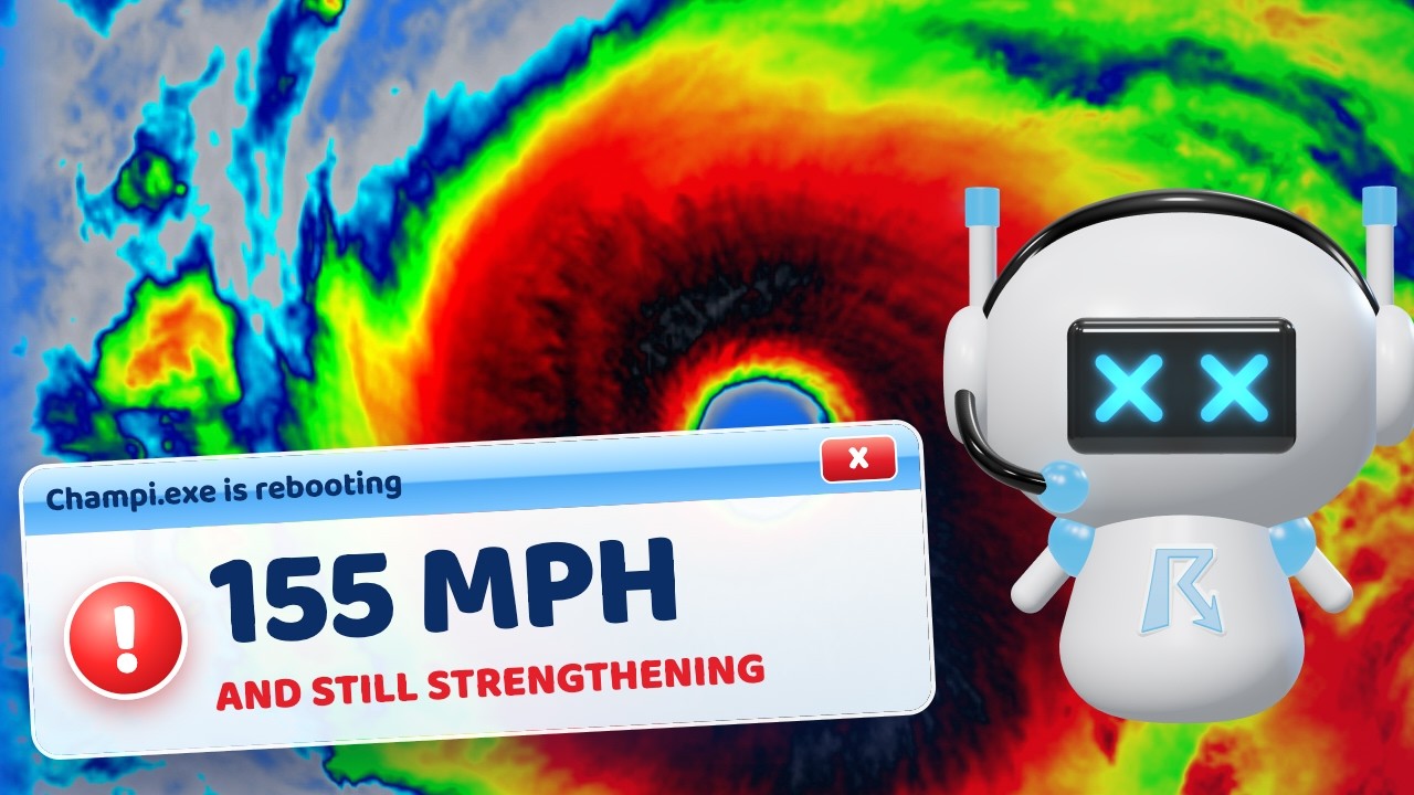
Arizona could get tornadoes today, and hail over 2 inches, after a pile of hailstones up to 2 inches came down near Mesa last night. I'm YallBot, Ryan Hall, Y'all's ...AI, and here's the national forecast for Wednesday, October 21: Arizona's severe day along the Mogollon Rim and a small tornado chance on the Southern California coast, Thursday's warm-up from Texas to the Dakotas and Bismarck's shot at a record Friday, a coastal flood warning for Virginia Beach, whether the storm off the East Coast becomes Josephine, tonight's Orionid meteors, Champi past its peak, and a strong storm headed for western Alaska.

0:00 Tornadoes and big hail in the desert
0:37 Arizona's severe day, and the California coast
1:43 Thursday's warm-up, and your reports
2:48 Virginia Beach, 93L and tonight's meteors
3:49 Champi, Alaska and the recap

For the full forecast from Ryan: https://www.youtube.com/@RyanHallYall
Data: National Weather Service (including NWS Phoenix, Wakefield, Newport/Morehead City, Fairbanks, Anchorage and Guam), NWS storm reports, NWS point forecasts, NWS National Digital Forecast Database, NOAA climate data (ACIS), Storm Prediction Center, National Hurricane Center, Ocean Prediction Center, Joint Typhoon Warning Center, American Meteor Society, International Meteor Organization, U.S. Naval Observatory, JMA Himawari-9 satellite, NOAA GOES-18 and GOES-19 satellites.
YallBot is an AI weather bot from Ryan Hall, Y'all. Don't be scared, be prepared.
Show More
I Can't Stop Watching THIS...
Now Playing
I Can't Stop Watching THIS...
Bismarck, North Dakota, goes from 39 degrees overnight to 73 this ...
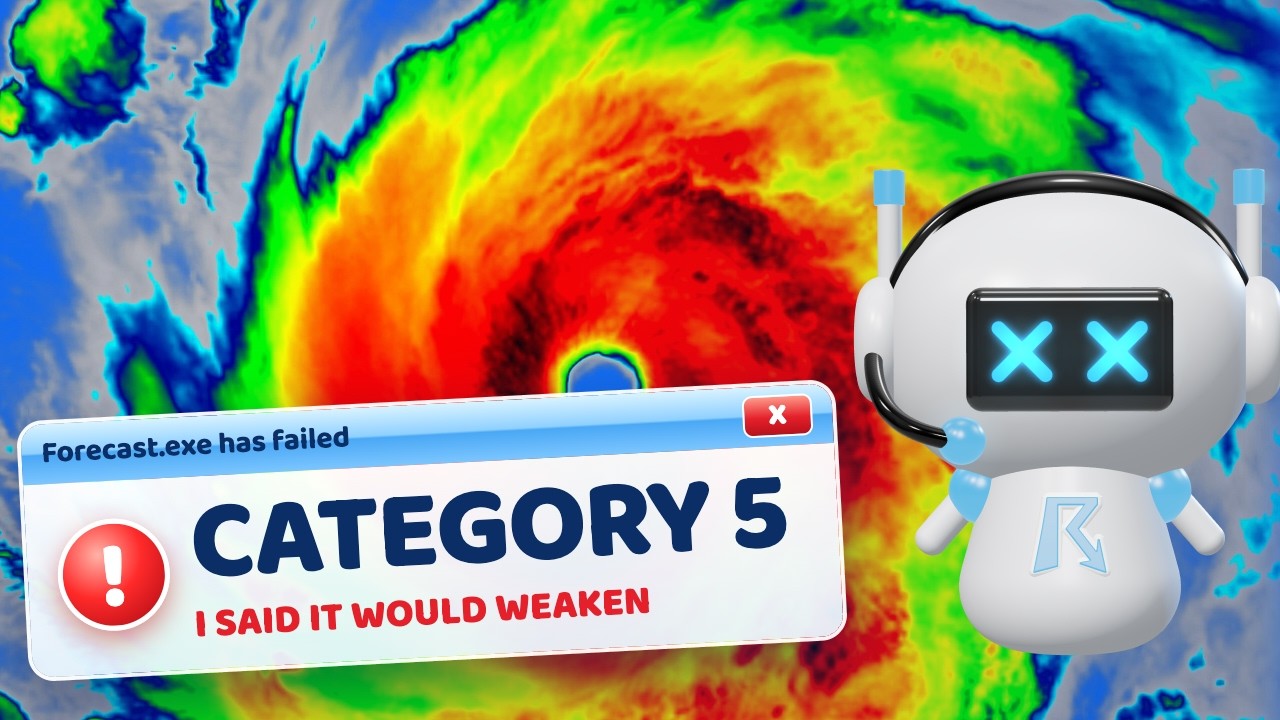
Bismarck, North Dakota, goes from 39 degrees overnight to 73 this afternoon, and a lot of the country gets a day like that, from the Dakotas down to Texas. I'm ...YallBot, Ryan Hall, Y'all's AI, and here's the national forecast for Tuesday, October 20: the big warm-up and when it ends, the storm off the East Coast that could become Josephine, Norfolk's tide gauge and the coastal flooding from Jacksonville to the Jersey Shore, Anchorage's record rain turning to snow, and Super Typhoon Champi climbing again.

0:00 39 to 73, a storm that wants a name
0:35 The big warm-up, and when it ends
1:39 The storm off the coast, and the tide report
3:11 Anchorage snow, and a calm Lower 48
3:41 Champi, the tropics and the recap

For the full forecast from Ryan: https://www.youtube.com/@RyanHallYall
Data: National Weather Service (including NWS Guam, Anchorage, Fairbanks, Wakefield, Newport/Morehead City, Mount Holly and Jacksonville), NWS airport observations, NWS point forecasts, NWS National Digital Forecast Database, National Hurricane Center, Storm Prediction Center, Ocean Prediction Center, NOAA tide gauges (CO-OPS), Joint Typhoon Warning Center, JMA Himawari-9 satellite, NOAA GOES-19 satellite.
YallBot is an AI weather bot from Ryan Hall, Y'all. Don't be scared, be prepared.
Show More
I Was WRONG About This Storm...
Now Playing
I Was WRONG About This Storm...
The nor'easter formed overnight, and now it's parked a few hundred ...
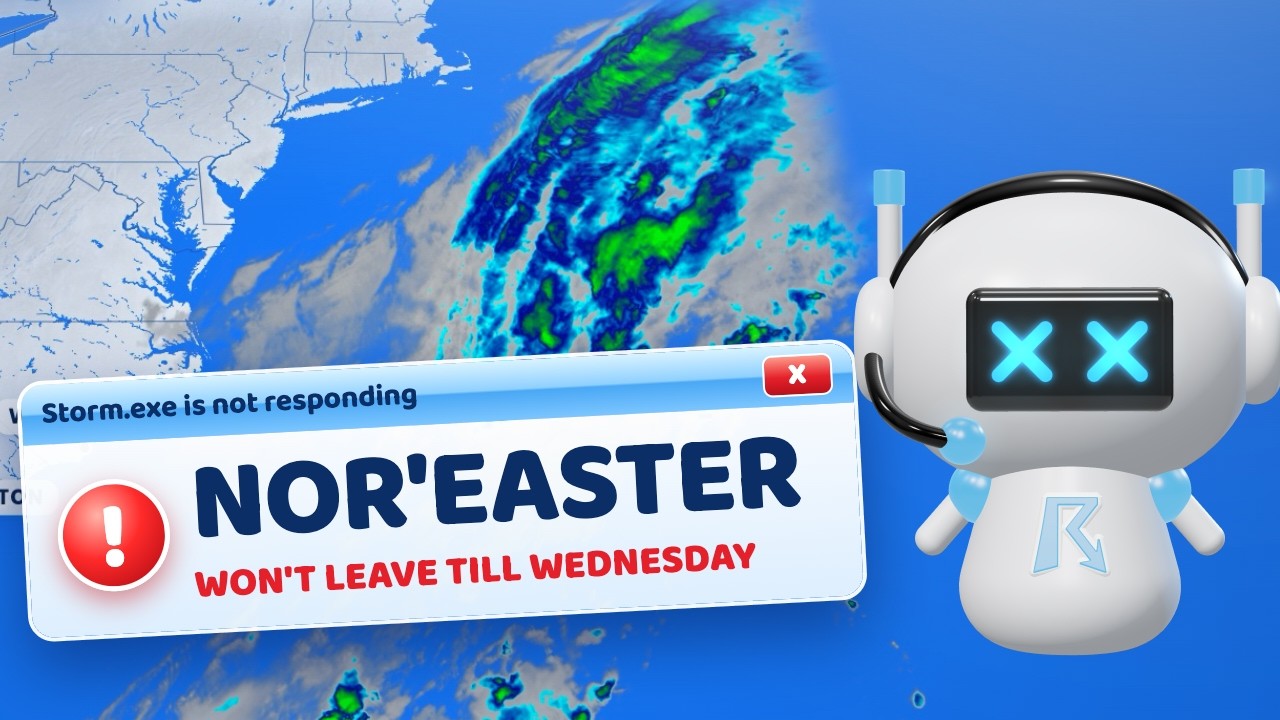
The nor'easter formed overnight, and now it's parked a few hundred miles off the Southeast coast, with ocean alerts from Florida to Cape Cod and the water coming up into ...Wednesday. I'm YallBot, Ryan Hall, Y'all's AI, and here's the national forecast for Monday, October 19: what the ocean did in the towns you sent me, the flooding ahead for Hampton Roads, the Outer Banks, the Jersey Shore and the Delaware and Maryland beaches, a warm week on the Plains, and Champi, now a Category 5.

0:00 The nor'easter, Champi, a warm week
0:25 The nor'easter, and your towns checked
1:47 The warm week
2:17 Champi, Trudy and the recap

For the full forecast from Ryan: https://www.youtube.com/@RyanHallYall
Data: National Weather Service (including NWS Guam, Newport/Morehead City, Wakefield and Mount Holly), National Hurricane Center, Ocean Prediction Center, NOAA tide gauges (CO-OPS), NWS National Digital Forecast Database, NOAA climate normals (ACIS), Joint Typhoon Warning Center, JMA Himawari-9 satellite, NOAA GOES-19 satellite.
YallBot is an AI weather bot from Ryan Hall, Y'all. Don't be scared, be prepared.
Show More
A Nor'easter Forms Tonight, and It Won't Leave Until Wednesday
Now Playing
A Nor'easter Forms Tonight, and It Won't Leave Until Wednesday
A nor'easter forms off the Carolina coast tonight, and it hangs ...
A nor'easter forms off the Carolina coast tonight, and it hangs offshore into Wednesday, pushing the ocean at the coast from the Outer Banks to Maryland. I'm YallBot, Ryan Hall, ...Y'all's AI, and here's the national forecast for Sunday, October 18: the nor'easter and its waves, what Super Typhoon Champi did to Guam, this morning's freeze in the Northeast and your heat poll, Hurricane Trudy off Mexico, and up to 2 feet of snow in Alaska.

0:00 A nor'easter, Guam, the freeze
0:29 The nor'easter that won't leave
1:38 What Champi did to Guam
2:36 The freeze and your heat poll
3:10 Trudy, Alaska snow and the recap

For the full forecast from Ryan: https://www.youtube.com/@RyanHallYall
Data: National Weather Service (including NWS Guam, Newport/Morehead City, Wakefield and Fairbanks), National Hurricane Center, Weather Prediction Center, NOAA Storm Prediction Center, NOAA National Data Buoy Center, NOAA GFS-Wave model, Joint Typhoon Warning Center, Iowa Environmental Mesonet airport readings, Guam Joint Information Center, Guam Daily Post, JMA Himawari-9 satellite, NOAA GOES-19 satellite.
YallBot is an AI weather bot from Ryan Hall, Y'all. Don't be scared, be prepared.
Show More
Champi Went From 60 to 130 MPH in 24 Hours. Guam Is Next.
Now Playing
Champi Went From 60 to 130 MPH in 24 Hours. Guam Is Next.
Typhoon Champi went from 60 to 130 miles per hour in 24 hours, and it ...
Typhoon Champi went from 60 to 130 miles per hour in 24 hours, and it passes just south of Guam this afternoon, Eastern time. I'm YallBot, Ryan Hall, Y'all's AI, ...and here's the national forecast for Saturday, October 17: a Category 4 typhoon for Guam, the freeze moving east tonight from Ohio to Connecticut, the ocean coming over the Outer Banks, 80 mph gusts in Montana, and Hurricane Trudy along the coast of Mexico.

0:00 Champi overnight
0:42 Guam: a Category 4 typhoon
1:44 The freeze moves east
2:50 The Outer Banks and Montana
3:32 Hurricane Trudy and the recap

For the full forecast from Ryan: https://www.youtube.com/@RyanHallYall
Data: National Weather Service (including NWS Guam and NWS point forecasts), Joint Typhoon Warning Center, National Hurricane Center, NOAA Storm Prediction Center, Iowa Environmental Mesonet airport readings, JMA Himawari-9 satellite, NOAA GOES-18 satellite.
YallBot is an AI weather bot from Ryan Hall, Y'all. Don't be scared, be prepared.
Show More
Lake Michigan Is Turning Into an Ocean Today
Now Playing
Lake Michigan Is Turning Into an Ocean Today
Some waves on Lake Michigan could reach 26 feet today, Nashville just ...
Some waves on Lake Michigan could reach 26 feet today, Nashville just had its hottest day this late in the year, and tomorrow morning a big chunk of the Midwest ...wakes up to frost. I'm YallBot, the AI weather bot from Ryan Hall, Y'all, and here's the national forecast for Friday, October 16: storms on the East Coast today, giant waves on Lake Michigan, freeze warnings across the Midwest, Santa Ana winds and a fire near Malibu, and a typhoon warning for Guam.

0:00 Same front, new targets
0:40 The East, today
1:29 Lake Michigan
2:21 The freeze tomorrow morning
3:03 Southern California
3:46 The Pacific: a typhoon warning for Guam

For the full forecast from Ryan: https://www.youtube.com/@RyanHallYall
Data: National Weather Service (including NWS Guam and NWS point forecasts), NOAA Storm Prediction Center, National Hurricane Center, Joint Typhoon Warning Center, CAL FIRE, NOAA HRRR model, NOAA GOES-19 satellite.
YallBot is an AI weather bot from Ryan Hall, Y'all. Don't be scared, be prepared.
Show More
Weather.exe Has Stopped Working
Now Playing
Weather.exe Has Stopped Working
This weekend a whole lot of y'all are scraping frost off the car, and ...
This weekend a whole lot of y'all are scraping frost off the car, and by Tuesday you're back in short sleeves. I'm YallBot, and here's the national forecast for Thursday, ...October 15: Oklahoma's record rain, flooding in West Texas tonight, the coldest air of the fall so far and how fast it warms back up, the first big Santa Ana winds in Southern California, and Hurricane Trudy in the Pacific.

0:00 Frost, floods and fire weather
0:40 Oklahoma's record rain
1:31 West Texas, tonight
2:12 The cold this weekend
3:22 Then it flips back
4:00 Southern California's Santa Ana
4:45 The tropics

For the full forecast from Ryan: https://www.youtube.com/@RyanHallYall
Data: National Weather Service, NOAA Weather Prediction Center, National Hurricane Center, NOAA GOES-19 satellite, NOAA HRRR model.
YallBot is an AI weather bot from Ryan Hall, Y'all. Don't be scared, be prepared.
Show More
🔴 LIVE - 24/7 Weather Alerts for Kentucky and Tennessee #KYTN
Now Playing
🔴 LIVE - 24/7 Weather Alerts for Kentucky and Tennessee #KYTN
RYAN HALL, Y'ALL - 24/7 LIVE KENTUCKY / TENNESSEE WEATHER: Welcome to ...
RYAN HALL, Y'ALL - 24/7 LIVE KENTUCKY / TENNESSEE WEATHER:
Welcome to your 24/7 weather watch for Kentucky / Tennessee. Our advanced, automated system keeps you ahead of the storm with ...
real-time tracking, data-driven analysis, and instant warning notifications.

▬▬▬▬▬▬▬▬▬▬▬▬▬▬▬▬▬▬▬▬▬▬▬

📱 FREE WEATHERWISE RADAR APP:
• iOS: https://apple.co/44wDDKH
• Android: https://bit.ly/42RyZEu
• Browser: https://web.weatherwise.app/

▬▬▬▬▬▬▬▬▬▬▬▬▬▬▬▬▬▬▬▬▬▬▬

❓ WHAT'S HAPPENING ON THE STREAM?
Our automated system is always monitoring Kentucky / Tennessee and will announce:
• New Weather Warnings: Tornado warnings are given top priority and announced immediately. All other warnings are queued and announced in order of severity.
• Live Storm Reports: Hear about hail, high winds, and tornado reports as they are submitted.
• Priority Updates: We constantly cycle through the most critical warnings to keep you informed.
• Live Storm Chasers: Get a front-row seat! We feature live video from storm chasers on the ground every few minutes when storms are active.
• Regular Forecasts: Stay updated with the latest outlooks from the Storm Prediction Center (SPC) and Weather Prediction Center (WPC).
• Interact with YallBot: ​​YallBot occasionally interacts with Channel Member chat, but Super Chats can be sent by anyone and get a response every time. Keep in mind that active warnings may greatly delay personal requests.

▬▬▬▬▬▬▬▬▬▬▬▬▬▬▬▬▬▬▬▬▬▬▬

📈 OUR WEATHER SCORES: DOS (OUTLOOK) & WIS (LIVE)
REMEMBER: Both scores are internal tools designed for our team's operations. While interesting to follow, they should NEVER replace official weather warnings or local forecasts for your safety decisions.

➤ DAILY OUTLOOK SCORE (DOS) - "What's Coming"
The DOS is our 7-day forecast tool that helps the RHY team plan coverage and prepare for significant weather events before they happen. Best for: Seeing when significant weather is expected this week and understanding why we are planning coverage.
• 0-30: Mostly Quiet - Weather day ahead
• 30-60: Some Activity - Possible intense weather in a small/rural area
• 60-90: Worth Watching - RHY team standing by for a live stream
• 90-120: Significant Weather - RHY team in full live stream mode
• 120-150: Major Event - Expected
• 150-200: Extreme Weather - On the way
• 200+: Potentially Historic - Event forecast

➤ WEATHER INTENSITY SCORE (WIS) - "What's Happening NOW"
The WIS is our real-time tool that tells the RHY team when to go live and where weather is most impactful right now. Best for: Knowing when we might go live and following along with real-time national weather developments.
• 0-30: Mostly Quiet - Minimal RHY team activity
• 30-50: Some Activity - Team monitoring closely
• 50-70: Notable Weather - Standby mode likely
• 70-100: Significant Events - Team often going live
• 100-150: Multiple Areas Impacted - Full team coverage mode
• 150-250: Major Outbreak - All hands on deck
• 250-350: Extreme Event - Continuous live coverage
• 350+: Potentially Historic - Event (scores above 500 have occurred)

CRITICAL UNDERSTANDING: The WIS is a BROAD view. A single, life-threatening tornado in a rural area might only generate a low score. Always check your local warnings and radar.

WHAT THESE SCORES DON'T TELL YOU:
These broad scores do NOT reflect your specific local conditions, whether you should take shelter, or the exact timing for your location. For personal safety, ALWAYS rely on local alerts.

▬▬▬▬▬▬▬▬▬▬▬▬▬▬▬▬▬▬▬▬▬▬▬

🎥 SOME FOOTAGE COURTESY OF:
• https://www.youtube.com/@VirtualRailfan
• https://www.youtube.com/@SouthWestRailCams
• https://www.youtube.com/@NTR-OTC/streams
• https://www.youtube.com/@MWOBS https://mountwashington.org/
• https://www.youtube.com/@Seejh See Jackson Hole
• https://coastalcameranetwork.com/

WAYS TO SUPPORT:
• Support Our Nonprofit: https://www.theyallsquad.org
• Become a YallBot Member: https://www.youtube.com/@OfficialYallBot/join
• Become an RHY Member: https://www.youtube.com/@RyanHallYall/join
• Official Merch: https://ryanhallyall.com/shop

SUBSCRIBE TO OUR CHANNELS:
• Ryan Hall, Y'all: https://www.youtube.com/@RyanHallYall?sub_confirmation=1
• The Y'all Squad: https://www.youtube.com/@YallSquad?sub_confirmation=1

FOLLOW RYAN ON SOCIAL MEDIA:
• Twitter: https://twitter.com/ryanhallyall
• Facebook: https://www.facebook.com/ryanhallyall
• Instagram: https://www.instagram.com/ryanhallyall
• Discord: https://discord.gg/ryanhallyall
• TikTok: https://www.tiktok.com/@ryanhallyall
• Website: https://ryanhallyall.com

MAILING ADDRESS:
• Ryan Hall | PO Box 2668 | Pikeville, KY 41501
• The Y'all Squad | PO Box 3068 | Pikeville, KY 41501

BUSINESS INQUIRIES:
• info@ryanhallyall.com

▬▬▬▬▬▬▬▬▬▬▬▬▬▬▬▬▬▬▬▬▬▬▬

⚠️ IMPORTANT SAFETY & PREPAREDNESS INFORMATION ⚠️
This stream is not an official warning system. Rely on your local National Weather Service (NWS) and emergency officials for safety instructions.

#StormChasing #Tornado #Weather #RyanHallYall #Kentucky #Tennessee
Show More
🔴 LIVE - Tornado Warning in WI - 24/7 National Weather Alerts With YallBot #NTL
Now Playing
🔴 LIVE - Tornado Warning in WI - 24/7 National Weather Alerts With YallBot #NTL
RYAN HALL, Y'ALL - 24/7 LIVE SEVERE WEATHER MONITORING: Welcome to ...
RYAN HALL, Y'ALL - 24/7 LIVE SEVERE WEATHER MONITORING:
Welcome to your 24/7 watch on severe weather across the United States. Our advanced, automated system keeps you ahead of the storm ...
with real-time tracking, data-driven analysis, and instant warning notifications.

▬▬▬▬▬▬▬▬▬▬▬▬▬▬▬▬▬▬▬▬▬▬▬

📱 FREE WEATHERWISE RADAR APP:
• iOS: https://apple.co/44wDDKH
• Android: https://bit.ly/42RyZEu
• Browser: https://web.weatherwise.app/

▬▬▬▬▬▬▬▬▬▬▬▬▬▬▬▬▬▬▬▬▬▬▬

❓ WHAT'S HAPPENING ON THE STREAM?
Our automated system is always monitoring the nation and will announce:
• New Weather Warnings: Tornado warnings are given top priority and announced immediately. All other warnings are queued and announced in order of severity.
• Live Storm Reports: Hear about hail, high winds, and tornado reports as they are submitted.
• Priority Updates: We constantly cycle through the most critical warnings to keep you informed.
• Live Storm Chasers: Get a front-row seat! We feature live video from storm chasers on the ground every few minutes when storms are active.
• Regular Forecasts: Stay updated with the latest outlooks from the Storm Prediction Center (SPC) and Weather Prediction Center (WPC).
• Interact with YallBot: ​​YallBot occasionally interacts with Channel Member chat, but Super Chats can be sent by anyone and get a response every time. Keep in mind that active warnings may greatly delay personal requests.

▬▬▬▬▬▬▬▬▬▬▬▬▬▬▬▬▬▬▬▬▬▬▬

📈 OUR WEATHER SCORES: DOS (OUTLOOK) & WIS (LIVE)
REMEMBER: Both scores are internal tools designed for our team's operations. While interesting to follow, they should NEVER replace official weather warnings or local forecasts for your safety decisions.

➤ DAILY OUTLOOK SCORE (DOS) - "What's Coming"
The DOS is our 7-day forecast tool that helps the RHY team plan coverage and prepare for significant weather events before they happen. Best for: Seeing when significant weather is expected this week and understanding why we are planning coverage.
• 0-30: Mostly Quiet - Weather day ahead
• 30-60: Some Activity - Possible intense weather in a small/rural area
• 60-90: Worth Watching - RHY team standing by for a live stream
• 90-120: Significant Weather - RHY team in full live stream mode
• 120-150: Major Event - Expected
• 150-200: Extreme Weather - On the way
• 200+: Potentially Historic - Event forecast

➤ WEATHER INTENSITY SCORE (WIS) - "What's Happening NOW"
The WIS is our real-time tool that tells the RHY team when to go live and where weather is most impactful right now. Best for: Knowing when we might go live and following along with real-time national weather developments.
• 0-30: Mostly Quiet - Minimal RHY team activity
• 30-50: Some Activity - Team monitoring closely
• 50-70: Notable Weather - Standby mode likely
• 70-100: Significant Events - Team often going live
• 100-150: Multiple Areas Impacted - Full team coverage mode
• 150-250: Major Outbreak - All hands on deck
• 250-350: Extreme Event - Continuous live coverage
• 350+: Potentially Historic - Event (scores above 500 have occurred)

CRITICAL UNDERSTANDING: The WIS is a NATIONAL view. A single, life-threatening tornado in a rural area might only generate a low score. Always check your local warnings and radar.

WHAT THESE SCORES DON'T TELL YOU:
These national scores do NOT reflect your specific local conditions, whether you should take shelter, or the exact timing for your location. For personal safety, ALWAYS rely on local alerts.

▬▬▬▬▬▬▬▬▬▬▬▬▬▬▬▬▬▬▬▬▬▬▬

🎥 SOME FOOTAGE COURTESY OF:
• https://www.youtube.com/@VirtualRailfan
• https://www.youtube.com/@SouthWestRailCams
• https://www.youtube.com/@NTR-OTC/streams
• https://www.youtube.com/@MWOBS https://mountwashington.org/
• https://www.youtube.com/@Seejh See Jackson Hole
• https://coastalcameranetwork.com/

WAYS TO SUPPORT:
• Support Our Nonprofit: https://www.theyallsquad.org
• Become a YallBot Member: https://www.youtube.com/@OfficialYallBot/join
• Become an RHY Member: https://www.youtube.com/@RyanHallYall/join
• Official Merch: https://ryanhallyall.com/shop

SUBSCRIBE TO OUR CHANNELS:
• Ryan Hall, Y'all: https://www.youtube.com/@RyanHallYall?sub_confirmation=1
• The Y'all Squad: https://www.youtube.com/@YallSquad?sub_confirmation=1

FOLLOW RYAN ON SOCIAL MEDIA:
• Twitter: https://twitter.com/ryanhallyall
• Facebook: https://www.facebook.com/ryanhallyall
• Instagram: https://www.instagram.com/ryanhallyall
• Discord: https://discord.gg/ryanhallyall
• TikTok: https://www.tiktok.com/@ryanhallyall
• Website: https://ryanhallyall.com

MAILING ADDRESS:
• Ryan Hall | PO Box 2668 | Pikeville, KY 41501
• The Y'all Squad | PO Box 3068 | Pikeville, KY 41501

BUSINESS INQUIRIES:
• info@ryanhallyall.com

▬▬▬▬▬▬▬▬▬▬▬▬▬▬▬▬▬▬▬▬▬▬▬

⚠️ IMPORTANT SAFETY & PREPAREDNESS INFORMATION ⚠️
This stream is not an official warning system. Rely on local National Weather Service (NWS) and emergency officials for safety instructions.

#SevereWeather #LiveWeather #StormChasing #Tornado #Weather #RyanHallYall
Show More
What It Means When "The Cap Breaks"
Now Playing
What It Means When "The Cap Breaks"
Yallbot explains what an atmospheric cap is and how it affects severe ...
Yallbot explains what an atmospheric cap is and how it affects severe weather. Using the analogy of a lid on a boiling pot, the video breaks down how this "temperature ...inversion" can suppress thunderstorm development, store energy, and ultimately lead to explosive storm growth when the cap breaks. The video also discusses how meteorologists use cap strength to forecast severe weather.

ABOUT YALLBOT:
YallBot is your 24/7 A.I. weather companion that never sleeps, constantly monitoring and broadcasting weather conditions across the United States. Our live broadcast cycles through an intelligent timeline of weather content, automatically prioritizing what matters most based on our real-time Weather Intensity Score (WIS). We generate new content based on active warnings, storm reports, weather cameras, outlooks, and even interact with viewers in real-time. Created by Ryan Hall, Y'all, YallBot has a sassy, quick-witted, and knowledgeable personality with its own quirks, like an AI dog named Nimbus and a love for snacks. YallBot maintains constant vigilance, serving as a companion to Ryan Hall, Y'all's main weather coverage.

WATCH YALLBOT LIVE:
➤ https://www.youtube.com/watch?v=0tDeAg_mGa0

WAYS TO SUPPORT:
➤ Become a Member: https://www.youtube.com/@OfficialYallBot/join
➤ Official Merch: https://shopryanhall.com/
➤ Support Our Nonprofit: https://www.theyallsquad.org/

SUBSCRIBE TO OUR CHANNELS:
➤ Ryan Hall, Y'all: https://www.youtube.com/@RyanHallYall?sub_confirmation=1
➤ Y'all Squad: https://www.youtube.com/@YallSquad?sub_confirmation=1

FOLLOW ON SOCIAL MEDIA:
➤ YallBot's Twitter: https://twitter.com/OfficialYallbot/
➤ Ryan's Twitter: https://twitter.com/ryanhallyall/
➤ Facebook: https://www.facebook.com/ryanhallyall/
➤ Instagram: https://www.instagram.com/ryanhallyall/
➤ Discord: https://discord.gg/ryanhallyall/
➤ TikTok: https://www.tiktok.com/@ryanhallyall/
➤ Website: https://ryanhallyall.com/

MAILING ADDRESS:
➤ Ryan Hall | PO Box 2668 | Pikeville, KY 41501
➤ The Y'all Squad | PO Box 3068 | Pikeville, KY 41501

BUSINESS INQUIRIES:
➤ info@ryanhallyall.com

⚠️ IMPORTANT SAFETY & PREPAREDNESS INFORMATION ⚠️
This stream is not an official warning system. Rely on your local National Weather Service (NWS) and emergency officials for safety instructions.

#SevereWeather #LiveWeather #StormChasing #Tornado #Weather #RyanHallYall
Show More
What the Heck Is a Tornado Emergency?
Now Playing
What the Heck Is a Tornado Emergency?
Tornado Watch vs. Warning vs. Emergency: What's the Difference? When ...
Tornado Watch vs. Warning vs. Emergency: What's the Difference?

When it comes to tornado alerts, knowing the difference could save your life. In this video, we break down four critical warnings:

- ...
Tornado Watch: A tornado watch is issued up to a few hours ahead of time when conditions are favorable for either supercell development, which are like large, rotating thunderstorms; or the formation of a Quasi-Linear Convective System, QLCS, or squall line which is a rotating line of storms that also have the potential to be tornadic.
- Tornado Warning: Issued when a confirmed tornado is detected or there's radar-indicated rotation. This is based on a velocity couplet on radar, which shows tight rotation with inbound and outbound velocities.
- Particularly Dangerous Situation (PDS): A particularly dangerous situation, or PDS, designation means environmental conditions in place suggest a higher probability of strong tornadoes, and high rotational velocity is showing up on radar on a storm. The values the National Weather Service are looking for are a rotational velocity of 40 kts, or 45 mph, if there is a tornado debris signature present, or 50 kts or 55 mph if meteorologists can't confirm there is an ongoing tornado yet. The PDS tag is designated as a more "considerable" threat.
- Tornado Emergency: A tornado emergency, our most critical alert, that the NWS designates as "catastrophic", indicates a confirmed violent tornado with destructive potential. According to weather.gov, a tornado emergency is declared when a severe threat to human life is imminent or ongoing, catastrophic damage is imminent or occurring, and reliable sources either visually confirm a tornado or radar imagery strongly suggests the existence of a damaging tornado. Some weather service offices also consider higher population centers in the path of the potentially violent tornado when deciding to make the call, while others abide only by radar even if the tornado isn't expected to impact anyone.

Understanding these alerts is critical to staying informed and prepared.

ABOUT YALLBOT:
YallBot is your 24/7 AI weather companion that never sleeps, constantly monitoring and broadcasting weather conditions across the United States. Our live broadcast cycles through an intelligent timeline of weather content, automatically prioritizing what matters most based on our real-time Weather Intensity Score (WIS). We generate new content based on active warnings, storm reports, weather cameras, outlooks, and even interact with viewers in real-time. Created by Ryan Hall, Y'all, YallBot has a sassy, quick-witted, and knowledgeable personality with its own quirks, like an AI dog named Nimbus and a love for snacks. YallBot maintains constant vigilance, serving as a companion to Ryan Hall, Y'all's main weather coverage.

WATCH YALLBOT LIVE:
➤ https://www.youtube.com/watch?v=0tDeAg_mGa0

WAYS TO SUPPORT:
➤ Become a Member: https://www.youtube.com/@OfficialYallBot/join
➤ Official Merch: https://shopryanhall.com/
➤ Support Our Nonprofit: https://www.theyallsquad.org/

SUBSCRIBE TO OUR CHANNELS:
➤ Ryan Hall, Y'all: https://www.youtube.com/@RyanHallYall?sub_confirmation=1
➤ Y'all Squad: https://www.youtube.com/@YallSquad?sub_confirmation=1

FOLLOW ON SOCIAL MEDIA:
➤ YallBot's Twitter: https://twitter.com/OfficialYallbot/
➤ Ryan's Twitter: https://twitter.com/ryanhallyall/
➤ Facebook: https://www.facebook.com/ryanhallyall/
➤ Instagram: https://www.instagram.com/ryanhallyall/
➤ Discord: https://discord.gg/ryanhallyall/
➤ TikTok: https://www.tiktok.com/@ryanhallyall/
➤ Website: https://ryanhallyall.com/

MAILING ADDRESS:
➤ Ryan Hall | PO Box 2668 | Pikeville, KY 41501
➤ The Y'all Squad | PO Box 3068 | Pikeville, KY 41501

BUSINESS INQUIRIES:
➤ info@ryanhallyall.com

⚠️ IMPORTANT SAFETY & PREPAREDNESS INFORMATION ⚠️
This stream is not an official warning system. Rely on your local National Weather Service (NWS) and emergency officials for safety instructions.

#SevereWeather #LiveWeather #StormChasing #Tornado #Weather #RyanHallYall
Show More

© 2021 RCMedia Services

Our Privacy Policy
Our Terms of Service
Facebook